


GIScience / Geoinformatics Research Group

The GIScience Research Group is engaged in innovative basic and applied research at the interface between geography and the computational sciences. We thereby focus on the investigation of user-generated geographical content (VGI, Crowdsourcing, Citizen Science), for which we develop innovative methods and analytical approaches.
More specifically, our thematic focuses are on volunteered geographic information (VGI), big spatial data analytics, smart mobility and humanitarian aid, such as disaster management.
Through the Heidelberg Institute for Geoinformation Technology (HeiGIT gGmbH) at Heidelberg University, we have the opportunity to translate our research work into practical solutions.
In addition, we support our institute's study programmes in geography with numerous courses on relevant GI methods that allow our students to formally specialize in geoinformatics.
Please note our vacancies.
Latest News
News from our daily work can be found at giscienceblog.uni-heidelberg.de (also available as RSS-Feed). You can also follow us on Facebook and Twitter to stay up to date.
Excited to announce the CALL FOR CONTRIBUTIONS! Are you passionate about mapping with communities? Join us at the “Mapping with communities: Contemporary approaches and challenges” workshop at AGILE 2024 conference on June 04. Share your experiences, methodologies, and digital innovations in engaging communities with geospatial data. Submit your extended abstract by May 20 to mappingwithcomm@glasgow.ac.uk.
Our next Mapathon is just around the corner, and this time, we’re joining forces with OpenStreetMap Ghana to improve coverage and to help disaster risk assessment.Join us and be a part of the GeoNight 2024 to celebrate geography together in all its forms and facets! Everyone is welcome and no previous knowledge is needed!Do bring your laptop and preferably […]
The research team of the transdisciplinary project HEAL (Heat Adaptation for Vulnerable Population Groups), focusing on providing heat adaptation measures for vulnerable groups in Heidelberg, has published a research paper titled “How to assess the needs of vulnerable population groups towards heat-sensitive routing? An evidence-based and practical approach to reducing urban heat stress”. The paper […]
The HeiGIT gGmbH (Heidelberg Institute for Geoinformation Technology) team has just released a version 2.0 of the Sketch Map Tool, a low-tech solution for participatory sketch mapping through offline data collection, digitization and georeferencing of local spatial knowledge. Thanks to continuous support from the German Red Cross and financial support by the German Federal Foreign Office, the HeiGIT tool has undergone significant enhancements. These updates introduce new features aimed […]
We’re proud to share our recent conference experience with you! Our HeiGIT Product Owners for Big Data and Smart Mobility, Benjamin Herfort and Julian Psotta, had the privilege of attending the FOSSGIS 2024 conference, where they contributed valuable insights and expertise. The results of an exciting six years of joint work and shared projects between HeiGIT and the Federal Agency for Cartography […]
OhsomeNow stats makes it possible to monitor contributions to OpenStreetMap (OSM) in real time. We developed this new dashboard as part of our long-term cooperation with the Humanitarian OpenStreetMap Team (HOT), an international organization dedicated to humanitarian action and community development through open mapping. This dashboard has replaced the Missing Maps Leaderboard with a comprehensive overview […]
We’re thrilled to announce the release of openrouteservice (ors) version 8.0, designated “Wilfried”, as a tribute to Prof. Dr. Wilfried Juling, whose steady support and advice fundamentally shaped the growth and success of HeiGIT since its beginning. With countless hours and dedication poured into development and innovation, we’re excited to present a rich set of […]
In 2022, we embarked on an insightful expedition to Aklavik, Canada, in collaboration with our partners, the Alfred Wegener Institute (AWI) Helmholtz Center for Polar and Marine Research and the German Aerospace Center (DLR). This joint effort within the UndercoverEinAgenten project aimed to study the extent and velocity of permafrost thawing, a crucial aspect of […]
The Robert and Christine Danziger Scholarship application window is open until August 31st, 2024, offering a unique opportunity for doctoral candidates from Africa, particularly Ghana or West and Central Africa. The scholarship designed for those pursuing a doctorate at Heidelberg University in the fields of geography (with a focus on geoinformatics) or political science and […]
Are you interested in applying your experience and knowledge to support science-related, non-profit organizations for the betterment of society and the environment? If so, we have a compelling and fitting position for you! HeiGIT gGmbH is a research-oriented, non-profit company that has set itself the goal of improving the transfer of knowledge and technology from […]
The use of open-source geospatial data, exemplified by services like openrouteservice (ORS), proves to be beneficial for both academic research and use case studies. Witnessing our technologies applied in unanticipated ways showcases their potential to meet the evolving needs of various sectors while contributing positively to both society and the environment. One exemplary application is […]
Pictures of the Group
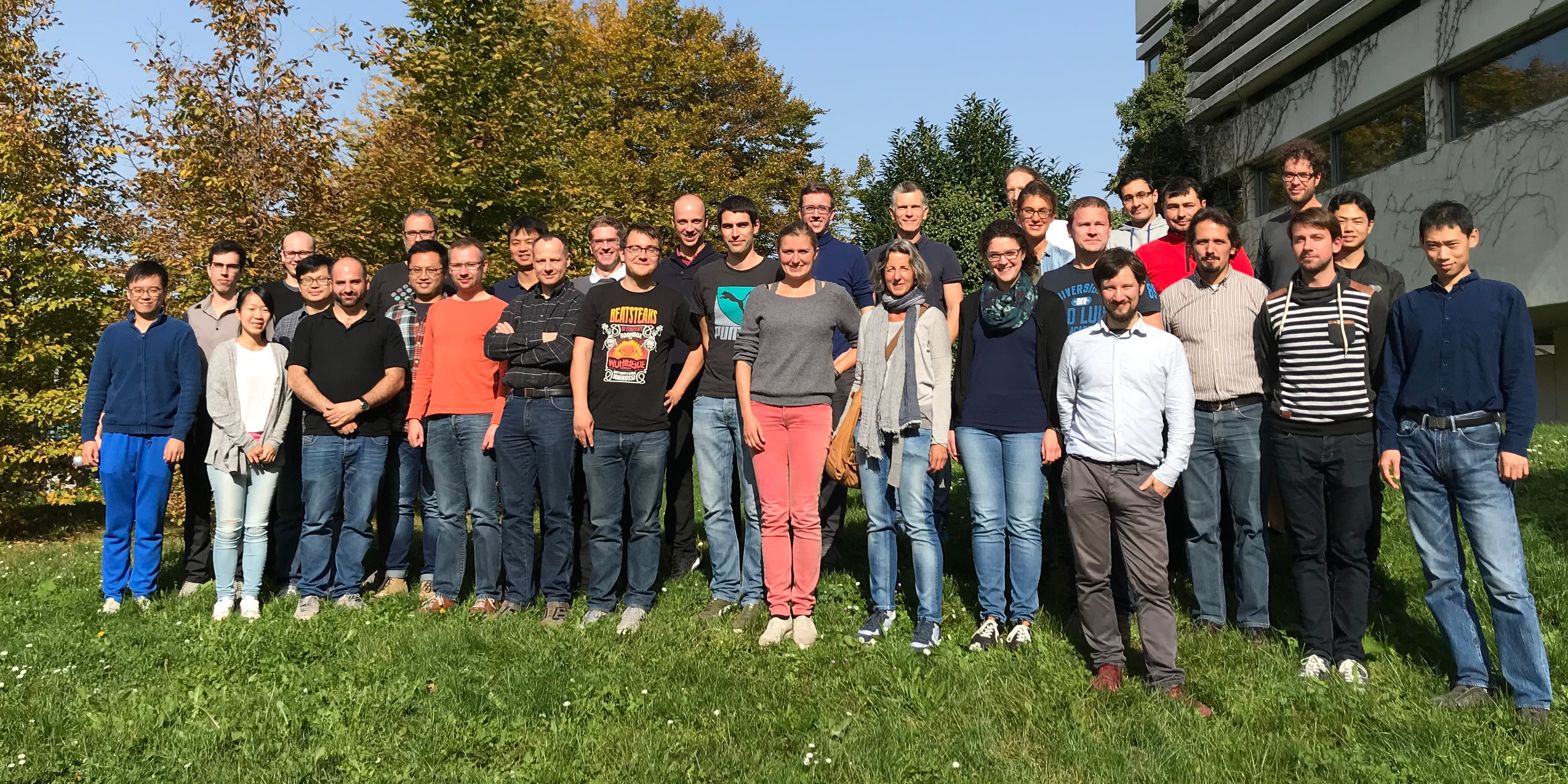
GIScience team at a jour fixe meeting in 2017
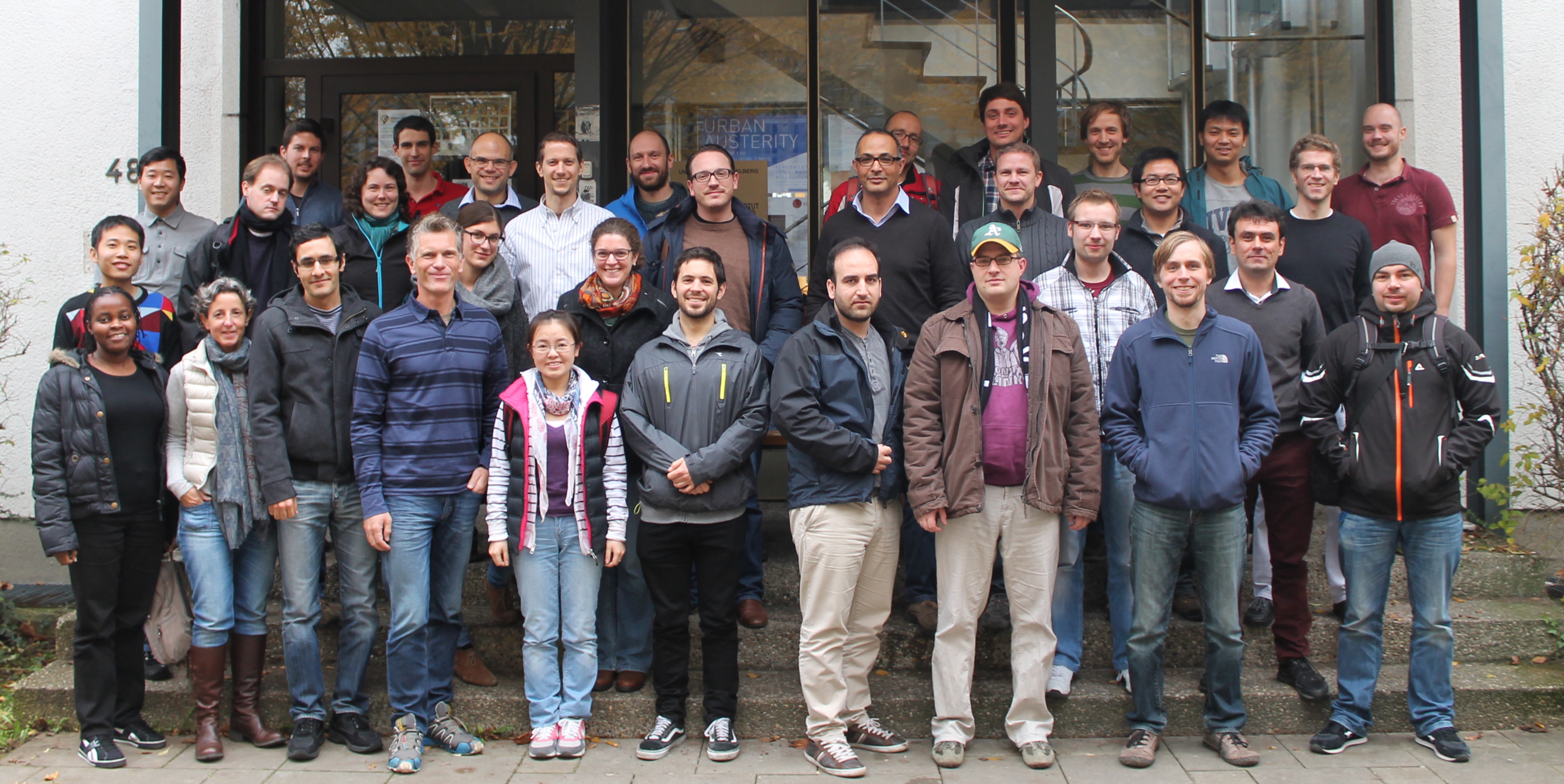
GIScience team at a jour fixe meeting in 2014
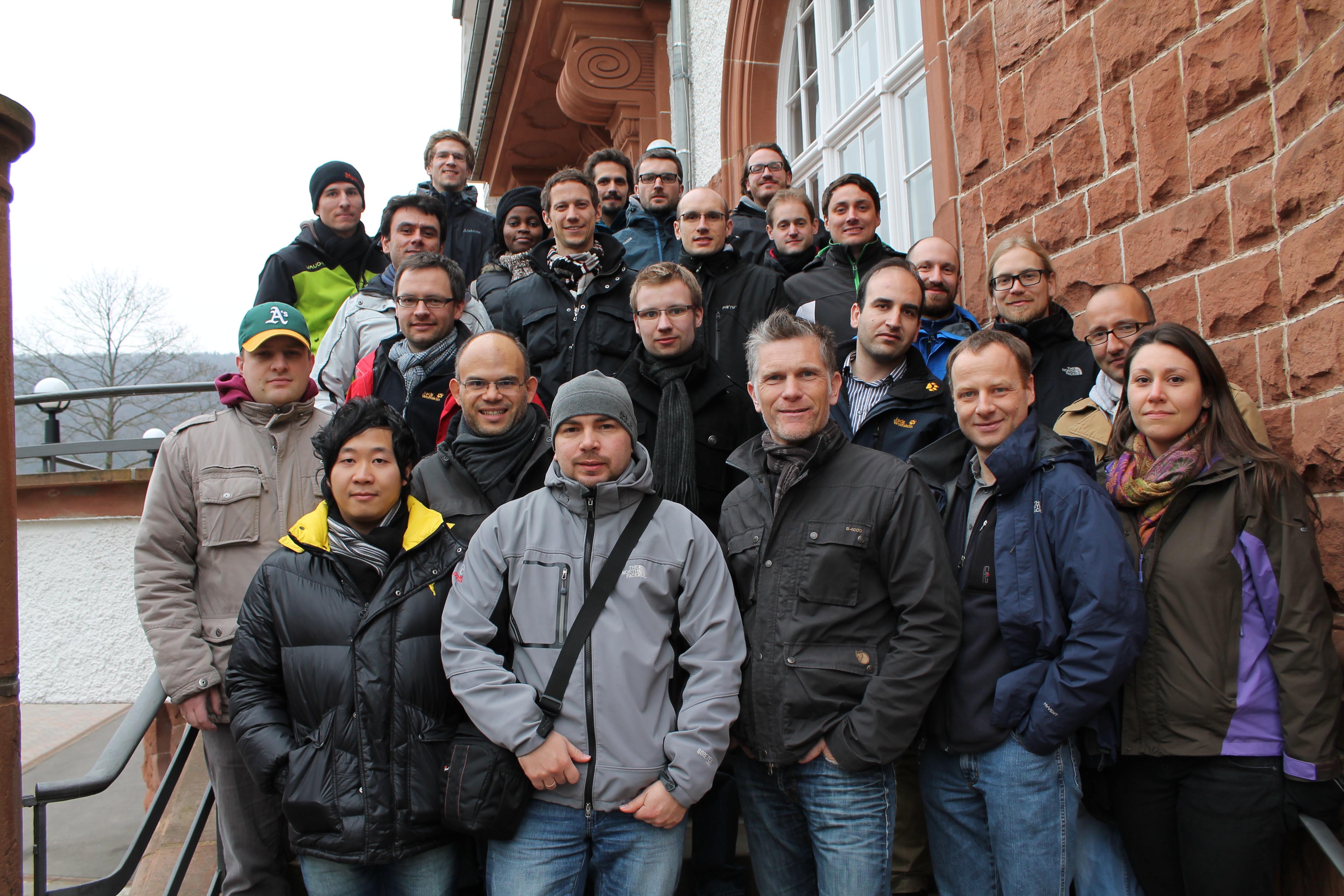
GIScience team at a retreat at Trifels-Annweiler in February 2013
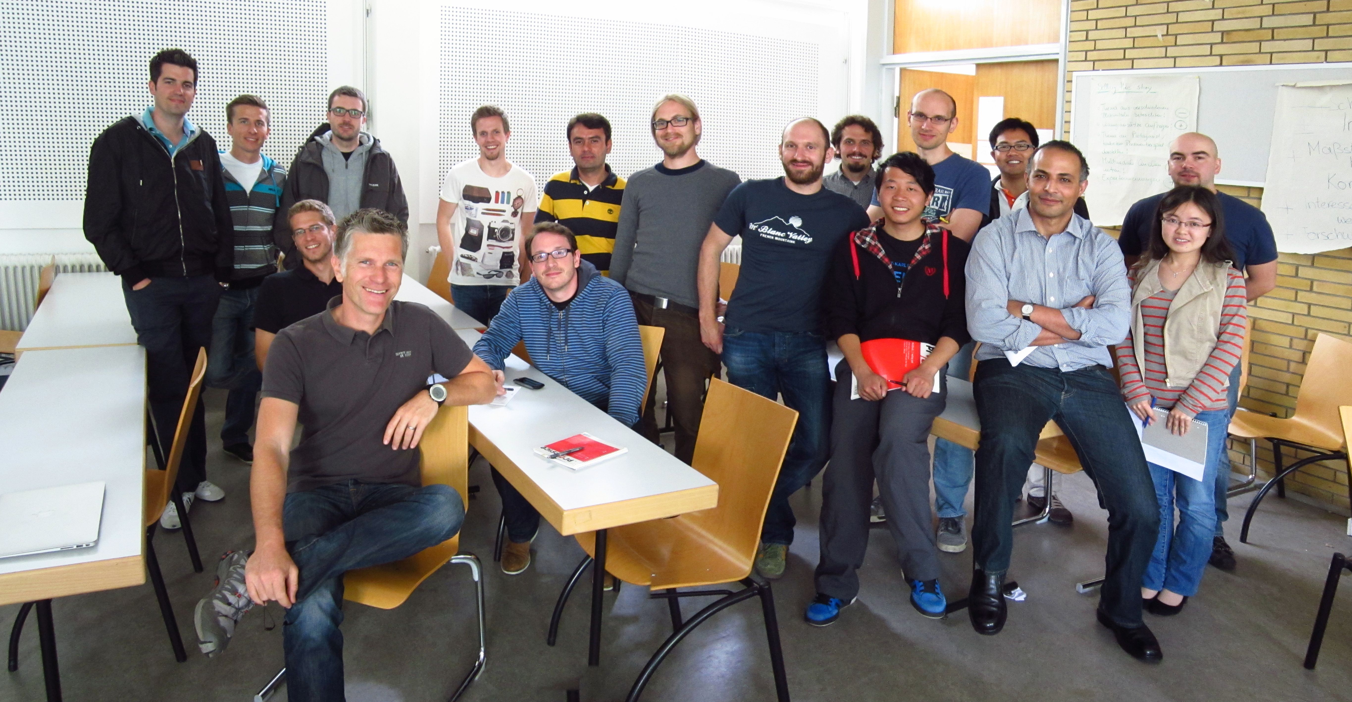
GIScience team at a jour fixe meeting in June 2012
In Memoriam Peter Meusburger

On 18 December 2017, Prof. Dr. Dr. h.c. Peter Meusburger died far too soon. We mourn for a great scientist, teacher and colleague. In the mid 90s he implemented the first GIS pool at Heidelberg University and started GIS related research. He will not be forgotten. ((Message of the University)